You may have heard of the term La Niña floating around with storm season returning for another year. It might have got you thinking what on earth it means, so we thought it would be handy to give you all the information you should know when it comes to La Niña and this year’s storm season.
Let’s begin by explaining what La Niña actually means. Put simply, a La Niña is explained by the Bureau of Metrology as the following:
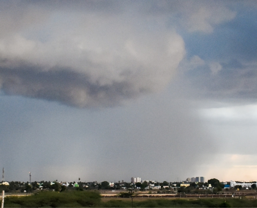
- Increased rainfall across much of Australia
- Cooler daytime temperatures (south of the tropics)
- Warmer overnight temperatures (in the north)
- Shift in temperature extremes
- Decreased frost risk
- Greater tropical cyclone numbers
- Earlier monsoon onset
What causes La Niña?
La Niña is caused when trade winds become stronger, which change the ocean's surface currents, resulting in cooler deep water rising from below1. This then causes the central and eastern tropical Pacific Ocean to cool.
Meanwhile, the strength of the trade winds begins to help the surface of the waters in the western Pacific and to the north of Australia to warm up1.
Essentially, this warming effect on the ocean in the western Pacific creates a perfect environment for rising air, cloud development and rainfall. As a result, the north of Australia usually experiences heavy rainfall1.
To put this into perspective, the six wettest winter-spring periods on record for eastern Australia have happened during La Niña years1.
What does this all mean?
In our neck of the woods (eastern Australia), we can expect the average rainfall during La Niña to increase by about 20%1. This usually also lifts the chances of widespread flooding and tropical cyclones due to the close link between the La Niña strength and rainfall.
Just when you thought it couldn’t get any hotter in Queensland, BOM explains we can also expect a longer duration of heatwaves in the SouthEast2.
Take a look at BOM's video explanation (below) on the impacts of El Niño and La Niña on our climate and weather for further understanding.
What can I do to prepare?
One of the best places to start is to check your home and contents or landlords insurance regularly to ensure it adequately covers the things you love, with a new for old replacement.
The next best thing you can do is jot down a list of handy numbers if you experience serious damage or danger.
The first few numbers on your list should be;
- Triple Zero (24/7), dial 000 for Police, Fire and Ambulance in an emergency
- SES (24/7), dial 132 500 for help with a damaged roof, rising flood water, trees fallen on buildings, or storm damage
- CGU emergency claims (24/7), dial 13 24 80 for emergency claims anytime.
You can then download and familiarise yourself with these checklists we’ve created below.
You can try practicing these with your children, partner or even housemates to make sure you’re all getting prepared for any event – rain, hail or shine.
References:
- Bureau of Meteorology. 2020. “What is La Niña and how does it impact Australia?” Accessed October 2020. http://www.bom.gov.au/climate/updates/articles/a020.shtml
- Bureau of Meteorology. 2020. “La Niña in Australia”. Accessed October 2020. http://www.bom.gov.au/climate/enso/images/La-Nina-in-Australia.pdf